Walking and Hiking
Walking & hiking is an exercise in natural beauty in Greater Portland & Casco Bay
8 listings

Falmouth, ME
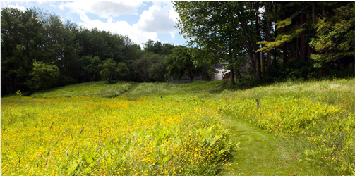
Gilsland Farm Center of the Maine Audubon Society
20 Gilsland Farm Road 207-781-2330Aside the Presumpscot River estuary and a mere five-minute drive from Portland, Gilsland Farm is the headquarters of Maine Audubon. There is a 65-acre sanctuary with more than two miles of trails winding along a pond and through forest, meadow, orchard, and salt marsh. To get to the main trailhead, just step out of the visitor center.
Portland, ME
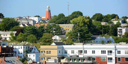
Fore Street, Old Port, and Congress Street Walk
Portland is so dense with elegant 19th-century urban architecture and waterfront views that any walk through the city is a scenic stroll. A couple of the standout areas are Fore Street along the waterfront, famous for its progressive food culture; the Old Port waterfront; and Congress Street, including the city's Museum of Art, City Hall, and other monumental buildings. These routes all pass waterfront and urban parks, with neat public sculpture and busy social scenes. See the attached map for points of interest.
Standish to Portland, ME
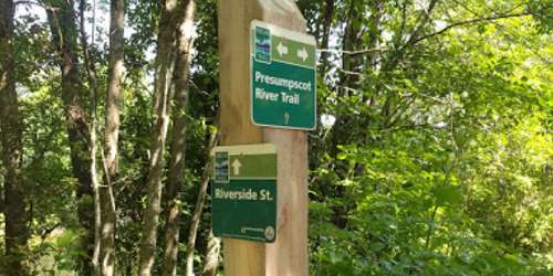
Sebago to the Sea Trail (Pedestrian)
This trail that follows an inactive railroad path and the Presumpscot River begins at Sebago Lake in Standish, and winds through Gorham, Windham and South Windham to Westbrook, and finally Portland. The trail concludes at East End Beach along Casco Bay.
Portions of the trail still have rail tracks and the rocky terrain that comes with them, while other parts are completely unpaved and grown over with wild grass. The trail is managed by a local coalition of towns that the trail passes through, cyclists, hikers, nature lovers and conservationists. Off-road bikes are only permitted on the more rugged parts of the trail. Maps of each section available on the website.
Scarborough, ME
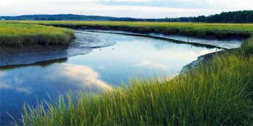
Scarborough Marsh Audubon Center
92 Pine Point Road 207-883-5100This 3,100-acre estuary offers many walking trails. Naturalist-led tours are available as well as self-guided. Canoe & kayak rentals are offered. Stop into the Maine Audubon Nature Store for a great gift. - Trail Guide (PDF)
Cape Elizabeth, ME
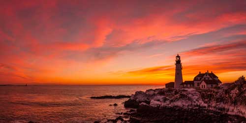
Fort Williams Park and Portland Head Lighthouse
Off Shore Road 207-799-2661The park on the ocean just south of Portsmouth contains the famous Portland Head Lighthouse and Museum, along with many pleasant paths for walking and bicycling.
Portland, ME
Portland Trails Urban Land Trust
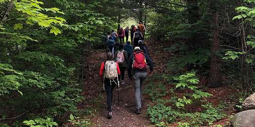
305 Commercial Street 207-775-2411This organization maintains a 50-mile network of trails in Greater Portland with 31 trails. Highlights:
- Eastern Promenade Trail is on a former rail corridor and it has harbor and ocean views. Benches and picnic tables are along the trail and at East End Beach.
- Fore River Sanctuary embraces the Jewell Falls waterfall and the location of the old Cumberland and Oxford Canal. Good for bird watching.
- Back Cove Trail offers great views of the Portland skyline. Ideal for walking, running, biking (road/mountain) and dog walking.
- Presumpscot River Preserve follows a deep ravine into the Preserve and it is steep in places. Boardwalks and bridges pass over wet areas and permit mountain bike access.
Portland, ME
Bayside Trail
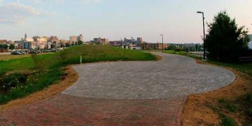
Trailheads at Elm Street and Casco Bay end of Marginal WayThis 1-mile trail is a flat, paved surface through the Bayside and East Bayside neighborhoods. It extends at the south end from Elm Street between Somerset Street and Marginal Way and parallels Marginal Way, linking with the East Promenade and the Back Cove Trails near the highway overpass where Route 1 crosses Back Cove. There are several benches and three water fountains. Trail is good for walkers, runners, and bicyclists.
Freeport, ME
Wolfe's Neck Woods State Park
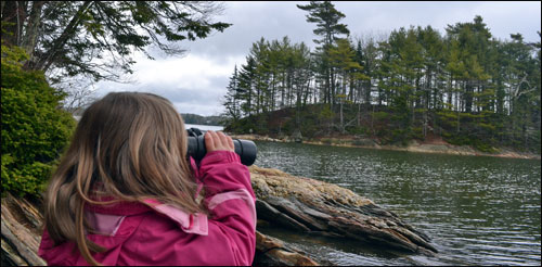
426 Wolfe's Neck Road 207-865-4465Walk or hike along Casco Bay Trail. Follow scenic paths to views of nearby Eagle, Counsin, and other islands. The longer Harraseeket Trail offers one-and-a-half miles of bay views and is more difficult in comparison to the half-mile North Loop Trail, which is a less challenging walk with views of a nearby farm. - Trail Map (PDF)