Walking and Hiking
Walking & hiking is an exercise in natural beauty in South Coast Region
8 listings
South Berwick, ME
Vaughn Woods State Park
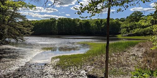
28 Oldfields Road 207-384-5160This park encompasses 250 acres for forested land along the Salmon Falls River. The park has several hiking trails through stands of pine and hemlock. The trails make up a large loop of three miles in all. Shorter loops may be used. There are locations for picnicking. - Trail Map (PDF)
Saco, ME
Saco Heath Preserve
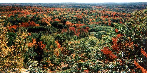
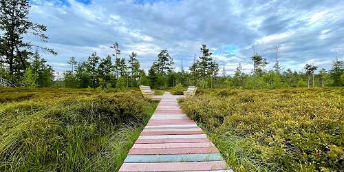
163 Buxton RoadYou can find and explore a real peat heath much nearer to home than the novels of Victorian England. The Saco Heath Preserve formed when ponds filled with decaying plant material grew together to form a raised coalesced bog. The preserve offers a self-guided hike along a woodland trail to a boardwalk through the heath’s varied peatland communities. In the spring, the heathland plants bloom, spreading a carpet of lavender, pink and white across the heath. To get there: Take Exit 36 off I-95/Maine Turnpike. Take the first exit after the tollbooth and turn left onto Industrial Park Road. Turn right onto Route 112, Buxton Road. Follow Route 112 about two miles. The parking lot for the preserve will be on the right in a wooded area. - Trail map (PDF)
Saco, ME
Cascade Falls Trail
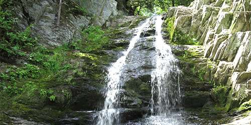
Off Cascade Road (Route 98)This 0.3-mile trail is easy-to-moderate hiking, and also wheelchair accessible. The area includes the Trout Pond Loop and views of Cascade Falls. Dogs are allowed on leash. is a gently sloping trail surfaced with stone dust that allows easy access for wheelchairs, elderly and children. There is no use fee.
The Trout Pond Loop is a gently sloping trail paved with stone dust. It follows Cascade Brook; watch for signs to Cascade Falls. Please leave no trace and carry out human trash and dog waste. In spring, summer, and fall, prepare with ticks and other biting insects. There is a large parking lot with a map kiosk by the trailhead.
Cape Neddick, ME
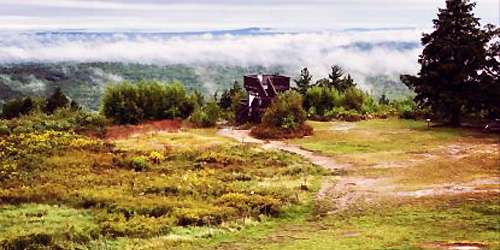
Mount Agamenticus
Mount Agamenticus Road 207-361-1102The Mount Agamenticus Conservation Region covers 10,000 acres of undeveloped forest land. The region is known for its rich plant and animal life, and a unique trail system. There is an intermediate trail from the summit, following Witch Hazel to Ring Trail to Horse Trail and another trail from Mountain Road to Ring Trail. - Driving Directions - Trail Descriptions
Wells, ME
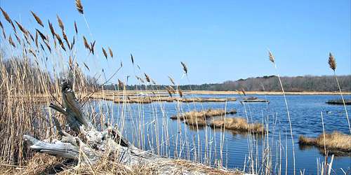
Wells National Estuarine Reserve
342 Laudholm Farm Road 207-646-1555Seven miles of hiking and cross-country skiing trails provide access to woodlands, fields, wetlands, beach, and dunes. Spectacular views and diverse habitats make the reserve an especially popular destination for nature photographers and birdwatchers. - Trail Map (PDF)
Hours: Trails are open daily 7am - Sunset. Visitor Center is open May 1-November 17, check website for admission.
Wells, ME
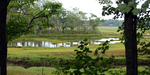
Rachel Carson Wildlife Refuge Trails
321 Port Road 207-646-9226Rachel Carson National Wildlife Refuge was created to protect coastal habitats of birds and other wildlife. The refuge has many walking and hiking trails. - Interactive Map
Ogunquit, ME
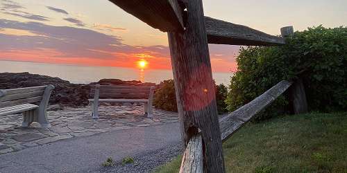
Marginal Way
Perkins Cove to Ogunquit Beach 207-641-2200This one-and-a-half mile foot path runs along the shoreline, offering spectacular water views. The south end is Jackie's To Restaurants on Perkins Cove Road and the north end is Beach Street and River Road at Ogunquit Beach. You can enter the path at Perkins Cove or the Marginal Way Lighthouse or at the Sparhawk.
Two municipal parking lots serve the Marginal Way. One lot is at Perkins Cove, at the south end of the Marginal Way. Obed's Lot is at the north end of the Marginal Way, and can be entered from Cottage Street. - Trail Map