Walking and Hiking
Great Activities from the Sea to the Mountains
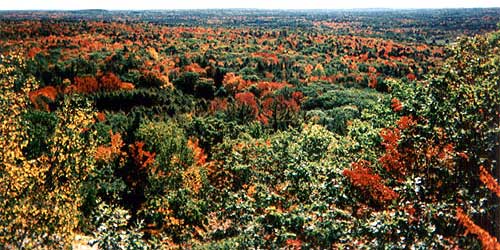
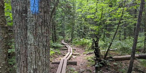
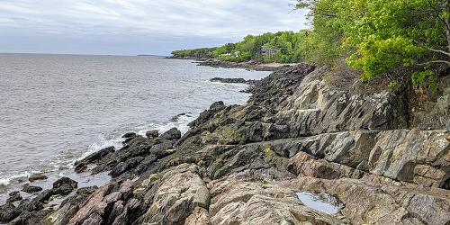
Come to Maine's cities, towns, seacoast, and mountains for walking and hiking in beautiful settings for people of all ages and abilities. Maine's wilderness and rugged coastlines are vast, scenic, and varied. Think hikes through untouched forests or national parks, or afternoon loops around a lighthouse. Any level of hiker can be dazzled by Maine's outdoor views.
Follow these links for :
State & Local Parks - Gardens - Science & Nature51 listings
Camden, ME
Camden Hills State Park
280 Belfast Road 207-236-3109Nice trails allow plenty of opportunities for hiking, horseback riding, and, in winter, cross-country skiing and snowshoeing. - Trail Map (PDF)
Hours: Open year-round, 9am - Sunset. A fee is charged.
Newcastle, ME
Dodge Point Preserve Trail
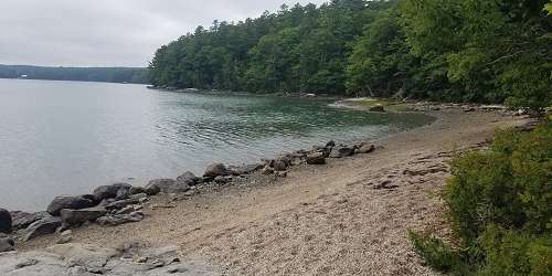
River RoadDodge Point, on the western shore of the Damariscotta River, has 8,000 feet of frontage on the Damariscotta River with small sand and pebble beaches, vistas from the river shore, and freshwater ponds. Four easy-to-moderate trails crisscross the property: Old Farm Road Trail (2 mile loop, easy; Ravine Trail (1.2 miles, moderate; Shore Trail (1.5 miles, easy; Timber Trail (0.8 miles, easy). Take the interpretive trail that starts at the Old Farm Road and make sure you explore the Shore Trail for the best views. - Preserve Map (PDF)


Bar Harbor, ME
Acadia National Park
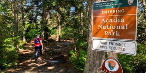
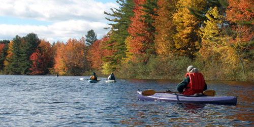
Maine Route 3 207-288-3338Lots of trails and 19th-century carriage roads lace this magnificent park. You can walk to the top of Cadillac Mountain. - Park Maps
Eastport, ME
Eastport Historic District
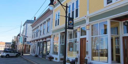
Eastportis across the bay from New Brunswick, Canada. Eastport attracts visitors who enjoy 18th- and 19-century architecture, including rstored sea captains' homes, history buffs, painters and photographer, whale watchers, and families. Local festivals celebrate spring, bird-watching, the Fourth of July, Passamaquoddy Tribal history and culture, pirate fun, salmon and a one-of-a-kind international New Year’s Eve. The walkable downtown includes 29 buildings on the National Historic Register.
Dennysville, ME
Cobscook Bay State Park
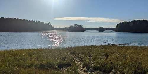
40 South Edmunds Road 207-726-4412Lots of hiking and walking trails are found at this interesting park on a tidal bay, with dramatic high and low tide changes. - Park Guide & Map (PDF) - Campground Map
Millinocket, ME
Baxter State Park
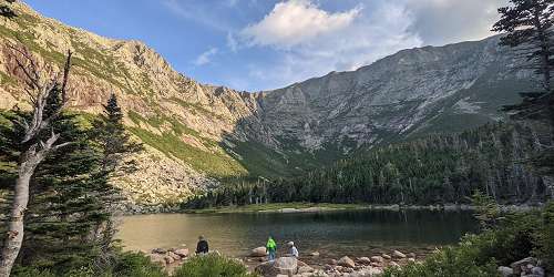
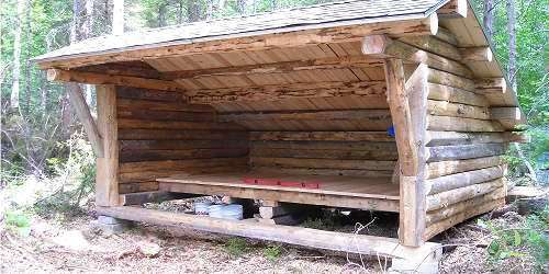
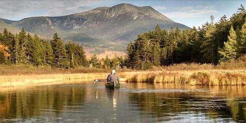
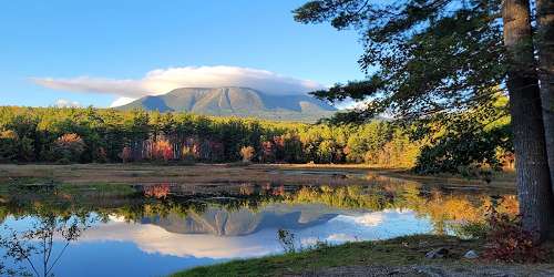
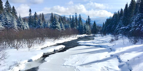
64 Balsam Drive 207-723-5140Hiking throughout 200,000 acres of preserved wilderness on the Trout Brook Farm, South Branch Pond, Katahdin Lake, Roaring Brook, and Abol Trails.
Augusta, ME
Viles Arboretum
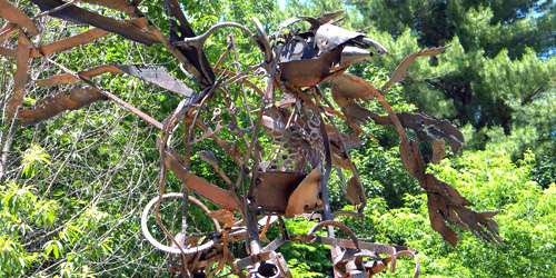
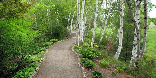
153 Hospital Street 207-626-7989Viles Arboretum offers 150 acres of fields and 74 acres of forest for recreation and nature viewing, particularly bird-watching. Six miles of trails off plenty of room for walking, jogging, biking, and even horseback riding. Tables and benches for rest and picnics are scattered throughout the property. In the winter, trails are groomed separately for cross-country skiing or snowshoeing. Also, there is a sledding hill and Art Trail.
The Forks, ME
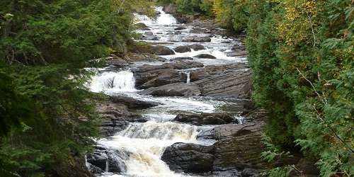
Moxie Falls
Lake Moxie Road - Off US Route 201The first half of the Moxie Falls Trail is flat, through mixed woods as it travels towards the falls. Halfway down the trail, a welcome sign indicates the falls are not far. Within a quarter of a mile, the trail begins to get a little steeper, followed by stairs and boardwalks surrounding the falls. There are several observation platforms. This is not a loop trail, return by retracing the walk.
Directions: The township of Moxie Gore is 50 miles north of Skowhegan on US Route 201. Upon reaching the village of The Forks, look to turn right onto Moxie Pond Road (Lake Moxie RD on DeLorme's Maine Atlas & Gazetteer). There is a rest area between the Moxie Pond Road and the river. The trailhead is located approximately 2.3 miles further on this road on the left.

Newry, ME
Grafton Notch State Park
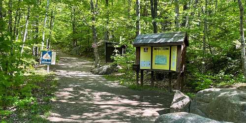
1941 Bear River Road 207-824-2912Back country hiking with fantastic views. Walks near waterfalls and gorges. The rugged terrain includes a dozen of the toughest miles along the entire Appalachian Trail. Easier trails and loops also are available. - Park Map (PDF)
Weld, ME
Tumbledown Mountain
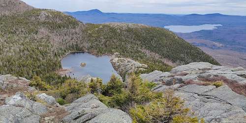
Trails off Weld-to-Byron RoadThe Tumbledown Mountain and Little Jackson Mountain trail network is composed of six trails and two trailheads for advanced hikers wishing to see some of the most unique features in Maine. Tumbledown Mountain includes three peaks, 700-foot cliffs and a pond near the summit. Little Jackson Mountain is higher elevation and offers different views, like Saddleback and Sugarloaf to the north and Mount Blue and Webb Lake to the East.
See website for description of trails: Brook Trail (1.9 miles, moderate); Parker Ridge Trail (2.9 miles, advanced); Loop Trail (1.5 miles, advanced); Tumbledown Ridge Trail (0.7 miles); Pond Link Trail (1.1 miles); Little Jackson Mountain Trail (3.6 miles, advanced). - Loop Trail Guide (PDF)
Ogunquit, ME
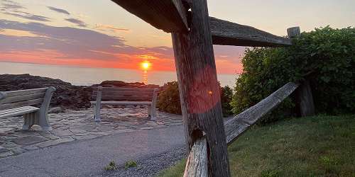
Marginal Way
Perkins Cove to Ogunquit Beach 207-641-2200This one-and-a-half mile foot path runs along the shoreline, offering spectacular water views. The south end is Jackie's To Restaurants on Perkins Cove Road and the north end is Beach Street and River Road at Ogunquit Beach. You can enter the path at Perkins Cove or the Marginal Way Lighthouse or at the Sparhawk.
Two municipal parking lots serve the Marginal Way. One lot is at Perkins Cove, at the south end of the Marginal Way. Obed's Lot is at the north end of the Marginal Way, and can be entered from Cottage Street. - Trail Map
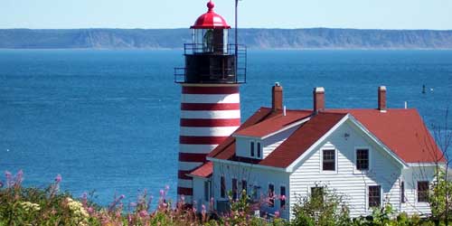
Lubec, ME
Quoddy Head State Park
973 South Lubec Road 207-733-0911Marvelous views and walks along the cliffs of this easternmost island in the United States. - Park Map with Trails (PDF)
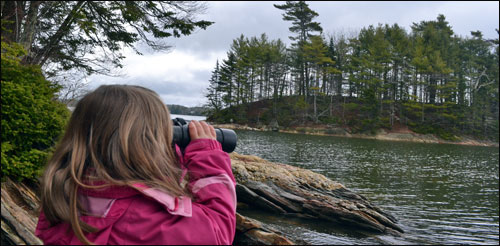
Freeport, ME
Wolfe's Neck Woods State Park
426 Wolfe's Neck Road 207-865-4465Walk or hike along Casco Bay Trail. Follow scenic paths to views of nearby Eagle, Counsin, and other islands. The longer Harraseeket Trail offers one-and-a-half miles of bay views and is more difficult in comparison to the half-mile North Loop Trail, which is a less challenging walk with views of a nearby farm. - Trail Map (PDF)
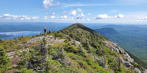
Carrabassett Valley, ME
Bigelow Preserve
Route 27 207-778-8231Set on over 36,000 acres, this preserve is along Flagstaff Lake. There are many mountains within the preserve. Extensive trails for both hiking and cross-country skiing are for experienced hikers and skiers. There is also swimming, paddling, fishing, and hunting. Snowmobile trails traverse the park. - Trail Map (PDF)
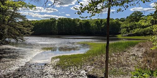
South Berwick, ME
Vaughn Woods State Park
28 Oldfields Road 207-384-5160This park encompasses 250 acres for forested land along the Salmon Falls River. The park has several hiking trails through stands of pine and hemlock. The trails make up a large loop of three miles in all. Shorter loops may be used. There are locations for picnicking. - Trail Map (PDF)
Camden and Rockport, ME
Camden to Rockport Walk
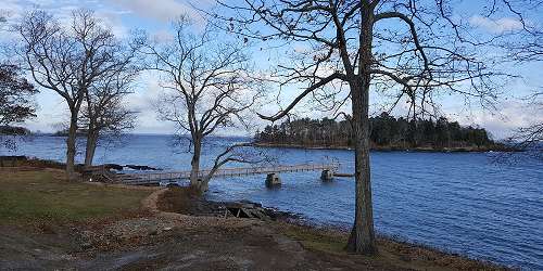
To enjoy the gorgeous views of Maine Midcoast and Casco Bay near Camden, start at 2 Elm Street and walk along Bay View Street to Laite Beach, with views of the harbor and Curtis Island Lighthouse. Continue on Bay View to Seaview Cemetery and take a left onto Chestnut Street. Soon you will pass Aldermere Farm, a breeder of Belted Galloway cattle. Continue and take a left onto Calderwood Lane and watch look for stunning views of Casco Bay. Turn right onto Chapel Road, which passes Vesper Hill Chapel, with its lovely gardens.
Turn onto Continue down Chapel Road and turn right onto Beauchamp Road, which sticks close to shore of Rockport Harbor. From Beauchamp, you will connect to Mechanic Street. Follow this to the end. To return to Camden, take a right at the end of Mechanic Street and back into Camden Village.

Portland, ME
Fore Street, Old Port, and Congress Street Walk
Portland is so dense with elegant 19th-century urban architecture and waterfront views that any walk through the city is a scenic stroll. A couple of the standout areas are Fore Street along the waterfront, famous for its progressive food culture; the Old Port waterfront; and Congress Street, including the city's Museum of Art, City Hall, and other monumental buildings. These routes all pass waterfront and urban parks, with neat public sculpture and busy social scenes. See the attached map for points of interest.
Presque Isle, ME
Presque Isle Bicycle and Pedestrian Walkway
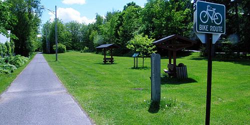
North Main Street to Riverside DriveThis four-and-a-half-mile biking and walking path follows the rail bed of the former Canadian Pacific Railway through Presque Isle. The path, which is paved, traverses the city and the grounds of the University of Maine, offering beautiful views of Presque Isle Stream. The trail travels aside the river for a short bit in Bicentennial Park on the north end before crossing to Chapman Street and continuing south. At the south end of the walk, enter the path at the convention center (Green Hill Road at US 1). At the north end of the walk, park off Riverside Drive right near the river behind the district court building. - Trail Map
Augusta, Hallowell, Farmingdale, and Gardiner, ME
Kennebec River Rail Trail
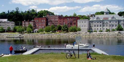
Along the Kennebec RiverThe 6.5-mile Kennebec River Rail Trail is open daily from dawn to dusk for walking, running, biking, skateboarding. The trail runs alongside the rail bed along the Kennebec River, and extends from Augusta through the towns of Hallowell, Farmingdale, and Gardiner. - Access Points & Parking Locations
Wells, ME
Rachel Carson Wildlife Refuge Trails
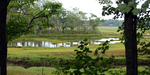
321 Port Road 207-646-9226Rachel Carson National Wildlife Refuge was created to protect coastal habitats of birds and other wildlife. The refuge has many walking and hiking trails. - Interactive Map
Portland, ME
Bayside Trail
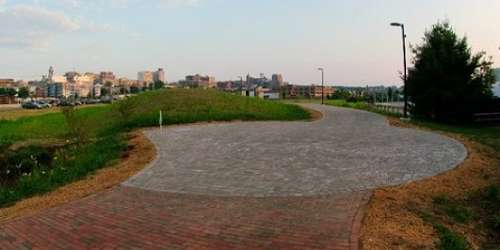
Trailheads at Elm Street and Casco Bay end of Marginal WayThis 1-mile trail is a flat, paved surface through the Bayside and East Bayside neighborhoods. It extends at the south end from Elm Street between Somerset Street and Marginal Way and parallels Marginal Way, linking with the East Promenade and the Back Cove Trails near the highway overpass where Route 1 crosses Back Cove. There are several benches and three water fountains. Trail is good for walkers, runners, and bicyclists.
Portland, ME
Portland Trails Urban Land Trust
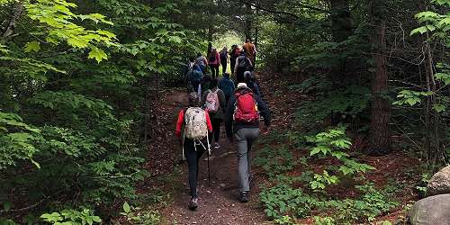
305 Commercial Street 207-775-2411This organization maintains a 50-mile network of trails in Greater Portland with 31 trails. Highlights:
- Eastern Promenade Trail is on a former rail corridor and it has harbor and ocean views. Benches and picnic tables are along the trail and at East End Beach.
- Fore River Sanctuary embraces the Jewell Falls waterfall and the location of the old Cumberland and Oxford Canal. Good for bird watching.
- Back Cove Trail offers great views of the Portland skyline. Ideal for walking, running, biking (road/mountain) and dog walking.
- Presumpscot River Preserve follows a deep ravine into the Preserve and it is steep in places. Boardwalks and bridges pass over wet areas and permit mountain bike access.

Cape Elizabeth, ME
Fort Williams Park and Portland Head Lighthouse
Off Shore Road 207-799-2661The park on the ocean just south of Portsmouth contains the famous Portland Head Lighthouse and Museum, along with many pleasant paths for walking and bicycling.
Stockton Springs, ME
Fort Point State Park
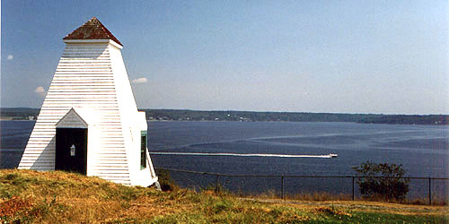
Cape Jellison Road 207-941-4014Nice walking trails with beautiful views of Penobscot River from this park on a peninsula. - Park Brochure with Map (PDF)
Phippsburg, ME
Bates-Morse Mountain Conservation Area and Trails
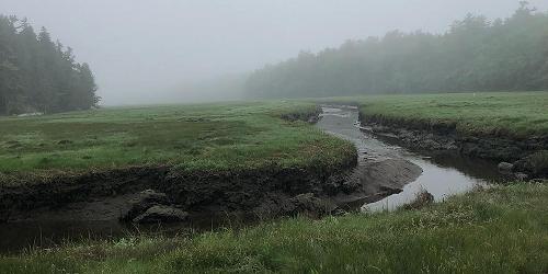
372 Morse Mountain Road 207-786-6202This conservation area includes Morse Mountain and the upland edge of undeveloped and unspoiled Seawall Beach. The conservation area is managed by Bates College. The public is invited to walk during daylight hours. The hike is not difficult -- Morse Mountain which is only 177 feet above sea level. The walk is two miles each way on a partially paved road. There are hills to get to the peak, but then the rest is mostly downhill to the beach. You will travel through woodlands, salt marshes, up Morse Mountain to an overlook, and on to Seawall Beach. Take water and bug repellent. No services. No dogs, fires, or camping gear allowed. - Area Map (PDF)
Saco, ME
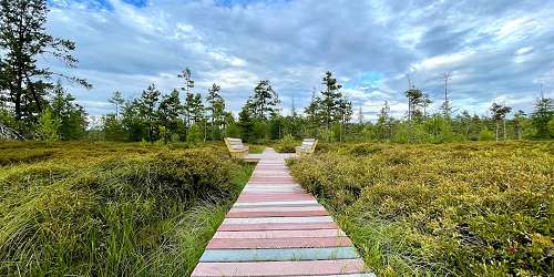
Saco Heath Preserve
163 Buxton RoadYou can find and explore a real peat heath much nearer to home than the novels of Victorian England. The Saco Heath Preserve formed when ponds filled with decaying plant material grew together to form a raised coalesced bog. The preserve offers a self-guided hike along a woodland trail to a boardwalk through the heath’s varied peatland communities. In the spring, the heathland plants bloom, spreading a carpet of lavender, pink and white across the heath. To get there: Take Exit 36 off I-95/Maine Turnpike. Take the first exit after the tollbooth and turn left onto Industrial Park Road. Turn right onto Route 112, Buxton Road. Follow Route 112 about two miles. The parking lot for the preserve will be on the right in a wooded area. - Trail map (PDF)
Bar Harbor, ME
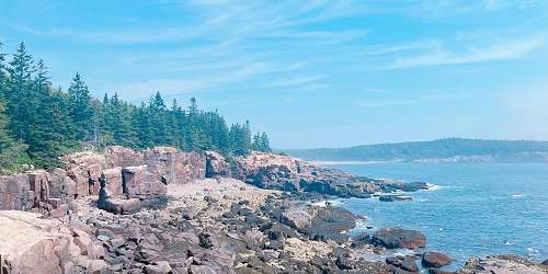
Ocean Path Trail in Acadia National Park
Park Loop RoadThis is an easy trail along a handsome stretch of coastline between Sand Beach and Otter Point. The path travels along Park Loop Road. The trail passes several famous spots, including Sand Beach, Thunder Hole, Monument Cove, and Otter Cliff. This is a flat gravel path and the elevation gain is a mere 100 feet. The distance is two miles one way from Sand Beach to Otter Point. Note that Park Loop Road is closed December to April. Access is at Sand Beach parking lot or Otter Point parking lot.
Bar Harbor, ME
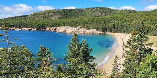
Great Head Trail in Acadia National Park
Off Schooner Head RoadThe 1.5 mile Great Head Trail is considered moderate difficulty. It loops around the perimeter of the Great Head peninsula just east of Sand Beach. Good for both adults and kids, Park in the lower Sand Beach parking area located on the left of the Park Loop Road. You also can get to the trail from Schooner Head Road outside of Bar Harbor. Granite steps lead down to the beautiful Sand Beach. This hike has views of The Beehive, Thunder Hole and the ocean.
Bangor, ME
Bangor City Forest
Tripp Drive - off Stillwater Avenue 207-992-4514Bangor City Forest is 680 acres of wildlife habitat and working forest. More than nine miles of trail are available for running, hiking, biking, snowshoeing, and cross country skiing. It is owned by the city of Bangor and it is open throughout the year.
Dogs on Main Road, Shannon Road, Tripp Drive, and East Trail must be on a leash at all times. Hunting is prohibited. Walden-Parke Preserve, owned by the Bangor Land Trust, encompasses more than 300 acres adjacent to City Forest, on the west side of the former Veazie Railroad bed. It features more than three miles of hiking, biking, skiing, and snowshoeing trails.
Bangor, ME
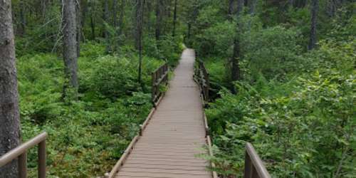
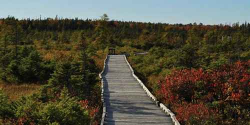
Orono Bog Boardwalk & Bangor City Forest
Off Tripp Drive 207-866-2578The Orono Bog Boardwalk is a place to see wondrous, native plants and animals of a Maine bog. The 1-mile boardwalk loop trail begins at the forested wetland edge in the Bangor City Forest and crosses into the Orono Bog. The boardwalk passes through a range of vegetation and environments on its way to the open, peat moss carpeted center of the Orono Bog. Boardwalk visitors can read colored signs with illustrations of common species of bog plants and animals, and explanations to go along with them. The boardwalk accommodates wheelchairs. Benches for rest and contemplation are provided at least every 200 feet. Bicyclists can park their bikes at the bike rack. Dogs are not allowed on the boardwalk.
Hours: The boardwalk is open to the public May 1 until Thanksgiving weekend or the first snowfall, whichever comes first. Admission is free.
Steuben, ME
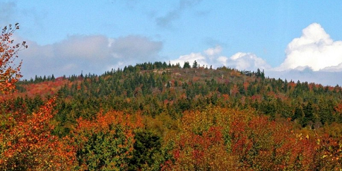
Pigeon Hill Preserve Trail
Pigeon Hill RoadThe trail up Pigeon Hill climbs steadily through open woodlands and ascends a steep rocky section before it breaks open to reveal the summit and its glorious views. It is moderate difficulty. Descending by the less steep Summit Loop Trail and the Silver Mine Trail creates a figure eight loop, provides additional views and passes an old silver mining area. The Historic Trail offers the most direct route to the top, but you can combine the Summit Loop, Ledge Woods and Silver Mine trails for a slightly longer journey. Total length of the hike is about 1.6 miles.
Madawaska, ME
Four Seasons Lodge and Trails
425 Spring StreetFour Seasons Lodge and Trails is the home base or people who love year-round outdoor recreation in the stunning heights of Maine. Guests can enjoy cross country skiing, mountain biking, snowshoeing and nature hikes. There’s a modern lodge, 8 km of Nordic ski trails, a Kid’s Terrain Park, a sliding hill with a ski-through tunnel. Snowshoe trails weave among the ski system. Ski and snowshoe rentals are available. All trails start from the lodge. Trail Maps
Standish to Portland, ME
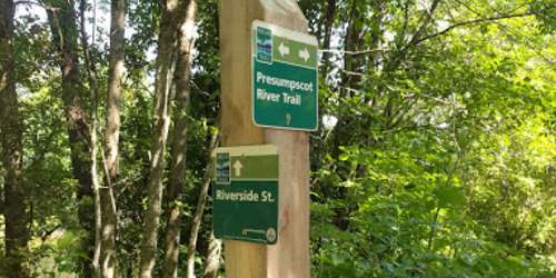
Sebago to the Sea Trail (Pedestrian)
This trail that follows an inactive railroad path and the Presumpscot River begins at Sebago Lake in Standish, and winds through Gorham, Windham and South Windham to Westbrook, and finally Portland. The trail concludes at East End Beach along Casco Bay.
Portions of the trail still have rail tracks and the rocky terrain that comes with them, while other parts are completely unpaved and grown over with wild grass. The trail is managed by a local coalition of towns that the trail passes through, cyclists, hikers, nature lovers and conservationists. Off-road bikes are only permitted on the more rugged parts of the trail. Maps of each section available on the website.

Southwest Harbor, ME
Ship Harbor Trail
Off Seawall Road - ME Route 102A 207-288-3338This loop trail is easy walking from the road to the ocean, through forested land. Enjoy classic views of the rocky shoreline. Bird watching is fruitful on this walk. Parking is easy and convenient. Total length is 1.3 mile.
Bar Harbor, ME
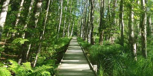
Jesup Path and Hemlock Road Loop
Off Park Loop Road - Acadia National Park 207-288-3338The Jesup and Hemlock loop is an easy walk through the Great Meadow featuring stands of birch and hemlock trees. Distance: 1.5 miles.
Getting There: From ME Route 3, turn off at the Hulls Cove Entrance to the park. Follow the Park Loop road 2.8 miles. Then turn left toward Sand Beach. Leave Park Loop Road at Sieur de Monts; take an immediate right; follow signs to the Nature Center. The walk begins to the right of the Nature Center.
Seal Harbor, ME
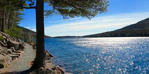
Jordan Pond Trail
Park Loop RoadThe trail follows the shore of Jordan Pond, offering views of mountains carved by glaciers and a sweeping valley, along with the pond itself. It is a 3-mile loop trail of moderate difficulty, and the trail is rugged in some places. Wear sturdy shoes or boots. Dogs are allowed on leash.
Getting There: From ME Route 3, turn off at the Hulls Cove entrance to Acadia National Park and the Hulls Cove Visitor Center. Follow the Park Loop Road 2.8 miles south, following signs for Jordan Pond. Use the North Lot parking area on the right just before the Jordan Pond House. Walk down the boat access to the pond. The Jordan Pond Trail crosses the boat launch. The hike can be taken in either direction. During the summer months, parking is difficult to find. Leave your car at the Hulls Cove Visitor Center and take the Island Explorer Bus.
Bar Harbor, ME
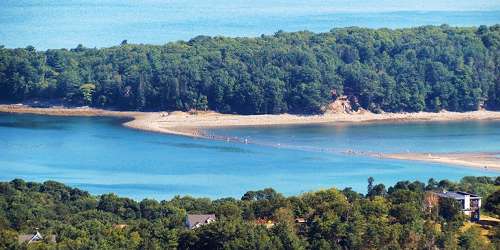
Bar Island Trail
North End of Bridge StreetThis unique trail follows a tidal sandbar north across the Mt. Desert Narrows from downtown Bar Harbor to Bar Island. The island is great for walking and for playing on rocks and in tide pools. From the elevated parts of the trail you will see a sprawling view of Mount Desert Island and the town of Bar Harbor.
Warning: Before going, check for the local times of low tide and allow yourself enough time to return. You will have no more than 1.5 hours before and after the low tide to use the land bridge. Make sure to wear hiking shoes or boots. - Tide Chart

Falmouth, ME
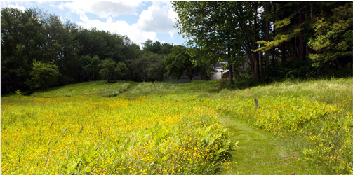
Gilsland Farm Center of the Maine Audubon Society
20 Gilsland Farm Road 207-781-2330Aside the Presumpscot River estuary and a mere five-minute drive from Portland, Gilsland Farm is the headquarters of Maine Audubon. There is a 65-acre sanctuary with more than two miles of trails winding along a pond and through forest, meadow, orchard, and salt marsh. To get to the main trailhead, just step out of the visitor center.
Belfast, ME
Hills to Sea Trail
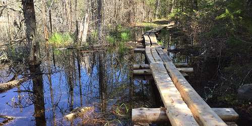
Oak Hill RoadThis 47-mile footpath links Unity Village with City Point in Belfast. Across the street from the Belfast trailhead is the northeast terminus of the Belfast Rail Trail, which winds southeast for 2.3 miles to downtown Belfast. Temporary trail closures, mostly related to hunting, are in place during the fall. The last closure ends on December 31. Dogs are allowed on most of the trail but must be kept under control. The middle section of the Hills to Sea Trail uses an existing 28-mile footpath network in Montville. These network trails have names and in some cases are marked with different colored blazes. - Trail Map (PDF)
Soldiertown TWP, ME
Penobscot River Trails
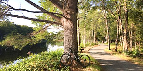
2540 Grindstone Road 207-746-5807The Penobscot River Trails is a 5,000-acre nature preserve owned and managed by a family charitable foundation. More than 15 miles of dirt and gravel trails are open to the public at no charge, year-round, for hiking, mountain biking, cross-country skiing, and snowshoeing. The property includes a small-boat launch for paddling on the East Branch of the Penobscot River. A visitor center with a wood-burning stove and restrooms and two huts provide places to rest and picnic. The entrance to the Penobscot River Trails is 12 miles north of the Medway exit and off Route 11 (Grindstone Road) in Soldiertown Township. - Directions - Trail Map
Camden, ME
Maiden’s Cliff Trail in Camden Hills State Park
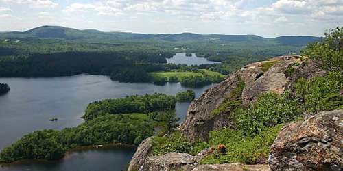
Route 52 NorthThe Maiden’s Cliff Trail in Camden Hills State Park leads to an 800-foot-tall cliff with beautiful views of Megunticook Lake. It is a one-mile walk of moderate difficulty. The white cross on top of Maiden's Cliff is a memorial to an 11-year old girl who fell off the cliff in May 1864.
The trail to Maiden's Cliff is often combined with other hiking trails in Camden Hills State Park. A favorite sequence is to walk the Maiden's Cliff Trail and then connect to the Scenic Trail, which is 0.8 miles and moderate difficulty. Scenic Trail leads to Miller ledges and views of Raged and Bald mountains to the west. Leaving the ledges, Ridge Trail turns to the interior of Camden Hills State Park, and ultimately returns to Maiden Cliff Trail. The three tails combined create a very popular hike in the Camden Hills. Also, there is a beach, picnic grounds and boat launch just across Route 52 from the trailhead. - Trail Map
To Get There: From Camden, travel north on US Route 1 to the intersection of US Route 1 and ME Route 52. Follow ME Route 52 north for approximately 2.8 miles. The parking area for Maiden Cliff will be on the right.
Holden, ME
Fields Pond Audubon Center
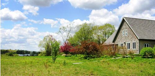
216 Fields Pond Road 207-989-2591Seven miles southeast of Bangor, Fields Pond Audubon Center has a visitor center where many public programs happen year-round and people may shop at a nature store, a 200-acre pond, and a 230-acre sanctuary with walking trails through fields, wetland, forest, and along a lake. During walks and cross-country skiing and snowshoeing on the trails, visitors can observe and photograph birds and wild life from small salamanders to bears to moose. Hundreds of varieties of butterflies have been spotted on the property. - Trail Map
Freeport, ME
Mast Landing Audubon Sanctuary
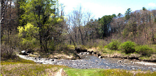
65 Upper Mast Landing Road 207-781-2330Just a mile from downtown Freeport, Mast Landing, located on the Harraseeket River estuary, offers 100 acres of fields, orchards, lowlands, and mature white pine and hemlock forest habitat. More than three miles of easy-to-moderate trails wind along a stream and tidal marsh. The trails are popular are ideal for hiking and cross-country skiing. - Trail Map (PDF)
Yarmouth, ME
Royal River Park
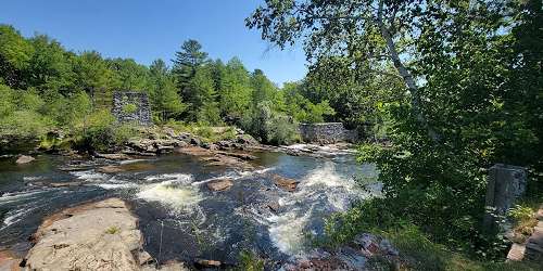
111 East Main StreetA paved path extends the through the park along the river and alongside Yarmouth village. Walkers will see three waterfalls, a forest, open fields, and a very old stand of hemlock trees. Stop for lunch at the picnic tables. Most of the park occupies former industrial and mill sites.
The main trail runs from East Elm Street near the Upper Falls, down along the river through open fields to the Third Falls overlook. It intersects with the Beth Condon Pathway, where a pedestrian bridge crosses the river and continues south to the Second Falls at Bridge Street. There are several connections to Main Street from the path. A second path extends from East Elm Street and the upper dam along a small peninsula between the river and an old mill sluiceway.
How to get there: The main entrance and parking lot is across East Elm Street from the Yarmouth History Center, about 0.3 mile east of the Main Street intersection. Park here if you are launching canoes from the History Center. There are more entrances from Mill Street, the Beth Condon Pathway near the Rowe School, the entrance of Forest Falls Drive, and from Bridge Street.
Saco, ME
Cascade Falls Trail
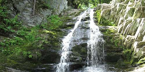
Off Cascade Road (Route 98)This 0.3-mile trail is easy-to-moderate hiking, and also wheelchair accessible. The area includes the Trout Pond Loop and views of Cascade Falls. Dogs are allowed on leash. is a gently sloping trail surfaced with stone dust that allows easy access for wheelchairs, elderly and children. There is no use fee.
The Trout Pond Loop is a gently sloping trail paved with stone dust. It follows Cascade Brook; watch for signs to Cascade Falls. Please leave no trace and carry out human trash and dog waste. In spring, summer, and fall, prepare with ticks and other biting insects. There is a large parking lot with a map kiosk by the trailhead.
Scarborough, ME
Scarborough Marsh Audubon Center
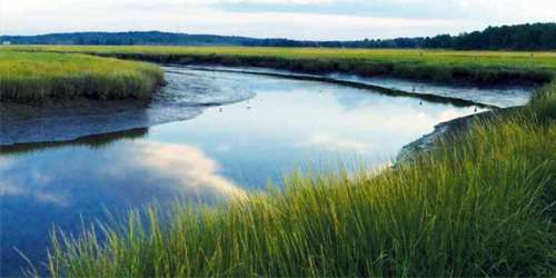
92 Pine Point Road 207-883-5100This 3,100-acre estuary offers many walking trails. Naturalist-led tours are available as well as self-guided. Canoe & kayak rentals are offered. Stop into the Maine Audubon Nature Store for a great gift. - Trail Guide (PDF)
Cape Neddick, ME
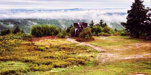
Mount Agamenticus
Mount Agamenticus Road 207-361-1102The Mount Agamenticus Conservation Region covers 10,000 acres of undeveloped forest land. The region is known for its rich plant and animal life, and a unique trail system. There is an intermediate trail from the summit, following Witch Hazel to Ring Trail to Horse Trail and another trail from Mountain Road to Ring Trail. - Driving Directions - Trail Descriptions
Eastport, ME
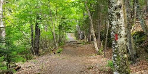
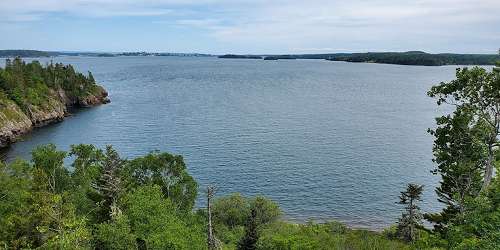
Shackford Head State Park
Deep Cove Road 207-726-4412Shackford Head State Park is on Moose Island overlooking Cobscook Bay. This promontory encircles the west side of Broad Cove. Several miles of interconnected trails cross the headland. The trails range from easy to difficult. A hiking trail from the parking area leads through woods to a rocky headland 173 feet above sea level, passing several pocket beaches and protected coves.
The best shore access is at Cony Beach (by the parking area) or from the Broad Cove Trail. Opportunities to see birds and other wildlife are excellent, Shackford Head State Park is not routinely staffed; take extra precautions when you visit. Wear sturdy footwear and be prepared for uneven terrain. - Trail Map (PDF)

Ellsworth, ME
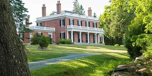
Woodlawn Museum, Gardens & Park
19 Black House Drive 207-667-8671Less than a mile from Ellsworth, Woodlawn Museum, Gardens and Park is an estate that was once home to the Black family, and is now open to the public to enjoy its historic house museum, formal gardens, trails and walking paths, croquet courts, field and orchards. Two miles of wooded trails are open for public use every day of the year from sunrise to sunset. People use the trails for cross-country skiing, snowshoeing, running, and walking. Benches are provided near the lily pond and restful spots.
Wells, ME
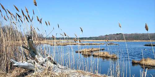
Wells National Estuarine Reserve
342 Laudholm Farm Road 207-646-1555Seven miles of hiking and cross-country skiing trails provide access to woodlands, fields, wetlands, beach, and dunes. Spectacular views and diverse habitats make the reserve an especially popular destination for nature photographers and birdwatchers. - Trail Map (PDF)
Hours: Trails are open daily 7am - Sunset. Visitor Center is open May 1-November 17, check website for admission.